OUR SERVICES
Van Neste Surveying has the experience that you need for your project to be a success. Click on the categories below or scroll down for a more detailed description of our services, including examples of our work. Clicking on individual images opens a high resolution PDF file of the survey.
UAV (Drone) Mapping / Aerial Imaging
We are FAA licensed commercial UAV operators, and can help you with your aerial mapping project. We offer imaging services including orthophoto mosaics and 3-dimensional surface modeling. Whether it is for volumetric analysis, large-scale topographic mapping, or oblique imagery for promotional materials, we can help you with your project. Aerial image overlays can also be added to our other services to make your survey deliverables really come to life.
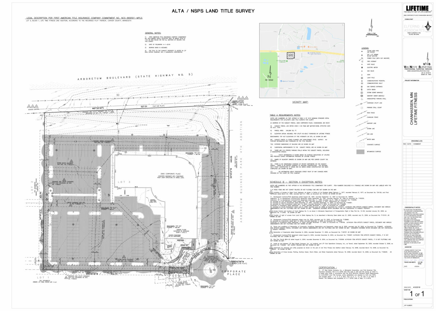
ALTA / NSPS Land Title Surveys
An ALTA/NSPS Land Title Survey is a specialized boundary survey that meets specific needs for land title insurance purposes. It has to meet the minimum precision and detail requirements established jointly by the American Land Title Association (ALTA) and the National Society of Professional Surveyors (NSPS). An ALTA/NSPS Land Title survey is often referred to as an ALTA survey, and it discloses all survey-related title issues so that a lending institution, a title attorney, or a concerned buyer can make informed decisions about a piece of real estate. In addition to the "Minimum Standard Detail Requirements", there are several optional requirements that can be specified by the individual ordering the survey. These additional requirements are listed in Table 'A' of the requirements. The most recent revision to these requirements was in 2016.
Click here for a PDF copy of the current (2016) Minimum Standard Detail Requirements and Table 'A'.
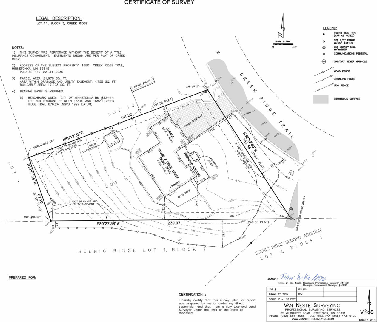
Boundary and Topographic Surveys
The content of a boundary and topographic survey can vary depending on what the survey is to be used for. Sometimes a survey drawing is meant only to convey what was found or set at the corners of the property, the dimensions and area of the property, and any discrepancies with the recorded dimensions of the parcel being surveyed. Other times a detailed drawing of the topographic conditions of the property is needed for an engineering design. Topographic surveys can include things such as buildings, parking areas, retaining walls, overhead or underground utilities, monitoring wells, or even underwater features. What is shown on a topographic survey and to what level of detail is specified at the time the survey is ordered.
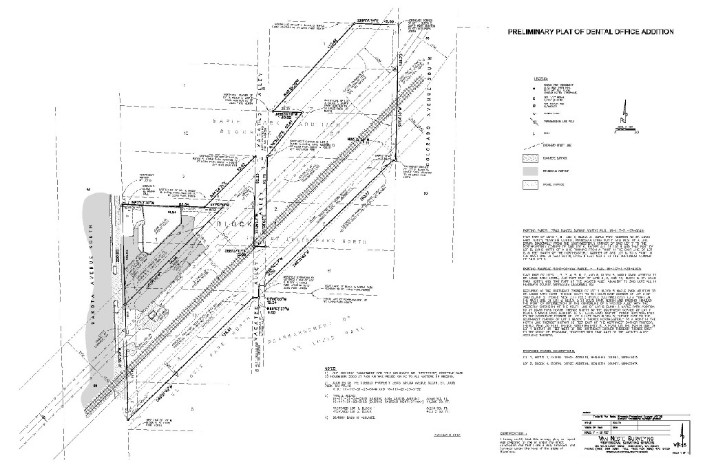
Preliminary and Final Platting
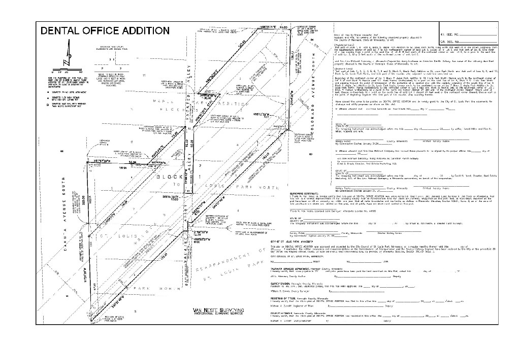
Platting is a process where several lots are created from a larger parcel. This process requires approval at both the city and county level.
The preliminary plat is a document used by the municipality approving the division of land. Although the requirements for a preliminary plat submittal vary for each municipality, they typically include a boundary and topographic survey showing the existing and proposed boundaries of the property. Other typical requirements include zoning information, setbacks, easements of record, proposed public easements, existing and proposed utility information, ownership, and tax parcel boundaries.
The final plat is a document that is filed with the county that the property is in. This document actually creates the new lots and shows the dimensions of each. The final plat also dedicates street right of ways, public drainage and utility easements, and park land. In Minnesota, final plats are checked by the county surveyor in the county that they will be filed in for compliance with Minnesota Statutes, Chapter 505. In Michigan, final plats are checked by the State plat examiner for compliance with the Land Division Act (Public Act 591 of 1996).
Condominiums and CIC Plats
A condominium is the form of housing tenure and other real property where a specified part of a piece of real estate is individually owned while use of and access to common facilities in the piece such as hallways, heating system, elevators, exterior areas is executed under legal rights associated with the individual ownership and controlled by the association of owners that jointly represent ownership of the whole piece.
In Minnesota, this is done through a Condominium Declaration and a Common Interest Community (CIC) Plat. The CIC Plat is used as a way to define the 3 dimensional space occupied by the condominium units and any common elements. CIC plats are checked by the County Surveyor in the county that they will be filed in for compliance with Minnesota Statutes, Chapter 515
In Michigan, property rights can be divided in this manner by a Condominium Master deed and the Condominium Subdivision Plan. The Condominium Subdivision Plan is also Exhibit 'B' to the master deed. Condominium Subdivision Plans must meet the requirements outlined in Michigan's Condominium Act (Act 59 of 1978).
Condominiums can be created to divide raw land, or parts of buildings. Typically, this process is thought of as a way to divide a building - creating "apartments" that are owned instead of rented. A CIC plat or a Condominium Subdivision Plan can also be used to divide ownership of office buildings, parking decks, storage units or docks.
Fence and Property Line Exhibits
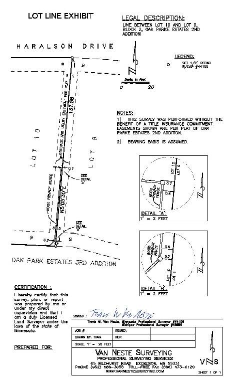
Sometimes all that is needed is to mark part of a piece of property. This can be done with or without a drawing documenting what has been done. We get a lot of calls from people that want to know where a particular physical feature on their property is located relative to the deed lines. Some cities in Minnesota require that parcel corners be marked by a surveyor prior to issuing a fence or deck permit. Other cities may require an affidavit be prepared documenting when the corners were marked or what type of monument was placed or recovered at each. We keep an extensive database of City requirements for surveys, and we would be happy to help you make sure you are providing the proper documentation to comply with the requirements in your municipality.
Legal Descriptions and Exhibits
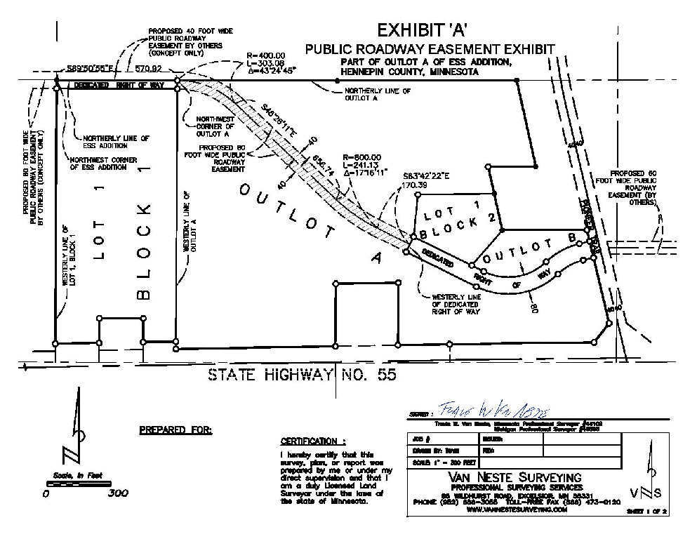
A legal description consists of the written words which delineate a specific piece of real property. In the written transfer of real property, it is universally required that the instrument of conveyance (deed) include a written description of the property. Legal descriptions are required whether conveying fee simple title to real property, or conveying an easement. When a surveyor prepares a legal description, they will often provide a graphic depiction of the described parcel, or an exhibit. This exhibit can be filed as an attachment to the deed when it is recorded to further clarify the intent of the legal description.
Minor Subdivisions and Exempt Splits
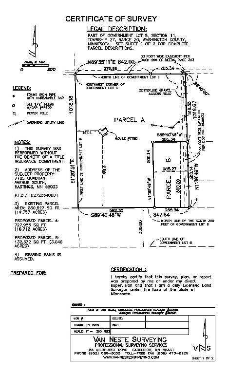
In addition to platting, property can sometimes be divided by preparing legal descriptions and a drawing depicting the new parcel layout.
In Minnesota, this process goes by several names. Sometimes this is called a Minor Subdivision, an Administrative Split, or a Lot Line Rearrangement. Any of these names indicates an abbreviated process that does not require approval by the City Council and Planning Commission if certain requirements are met.
In Michigan, this is known as an Exempt Split. This means that it is exempt from many of the provisions of the Land Division Act (Act 591 of 1996) if certain requirements are met.
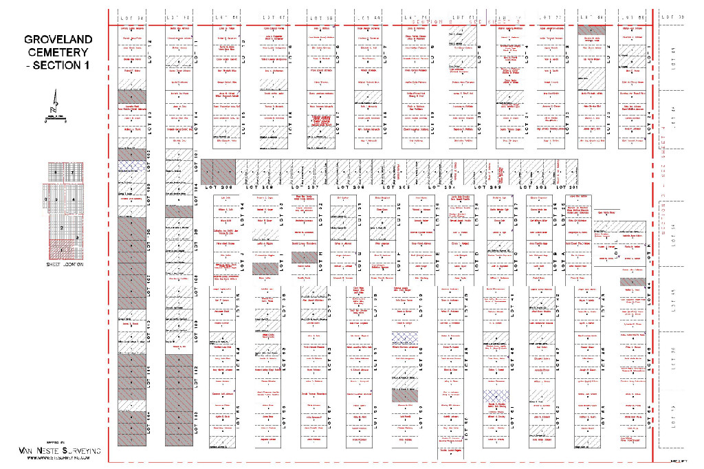
Cemetery Layout
Cemeteries in both Michigan and Minnesota are required to keep a map on file showing the layout and dimensions of burial plots. Van Neste Surveying has mapped both existing and proposed cemeteries to comply with this requirement. These maps are also useful for sales and marketing purposes or to assist families when visiting the deceased.
Construction Staking
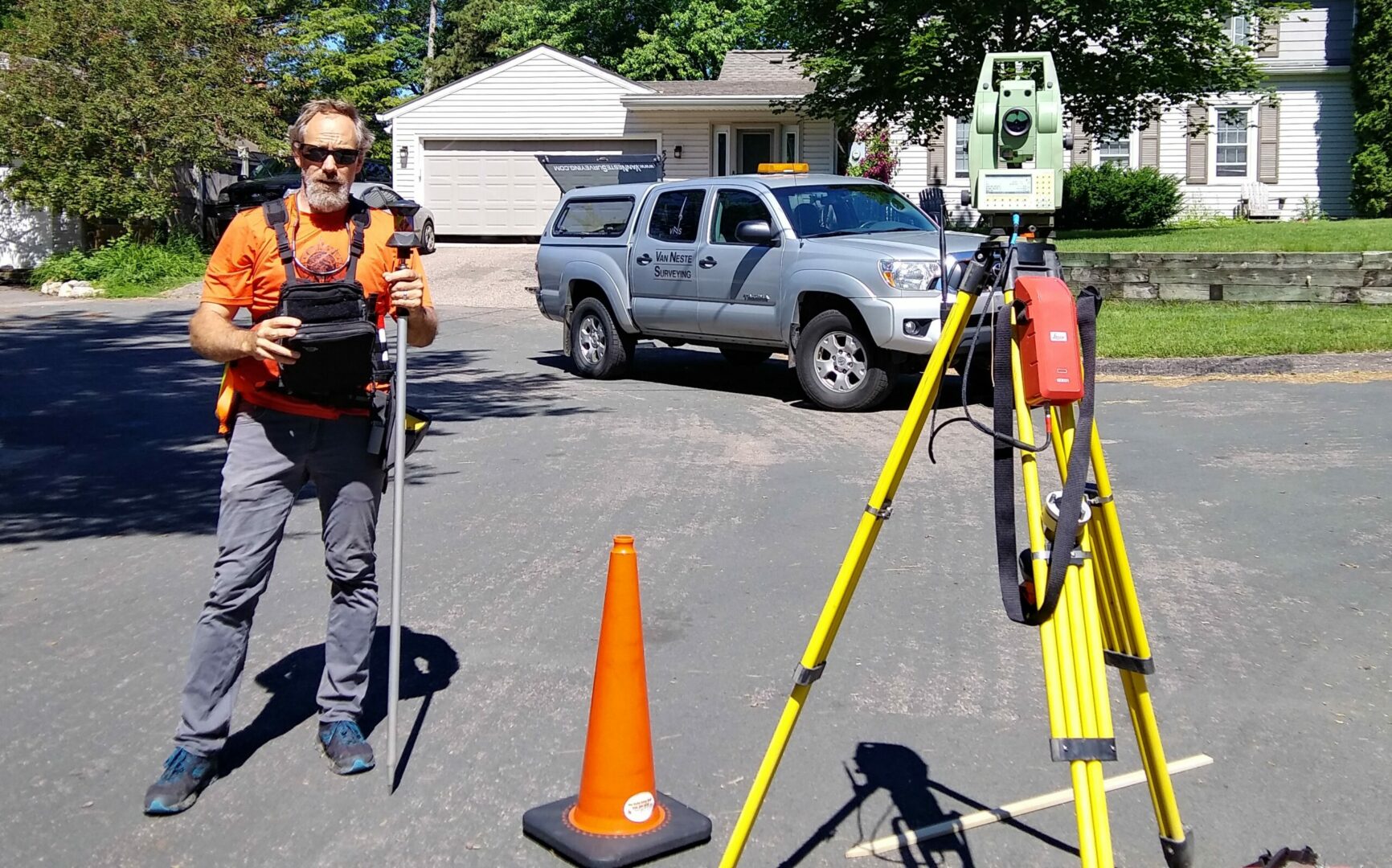
When constructing buildings, grading sites, or installing underground utilities from construction plans, contractors often rely on a surveyor to layout the horizontal and vertical positions of these features. Van Neste Surveying has provided these services for projects of just about every size, from layout of small buildings to major sitework and utility installation. If you would like us to provide an estimate for these services, we would be happy to review your construction documents and provide a quotation.
Elevation Certificates, Flood Map Certifications, and Letters of
Map Amendments
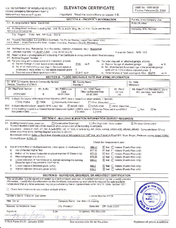
The Federal Emergency Management Agency (FEMA) provides flood insurance rate mapping (FIRM) information for use by lenders and insurance companies. Flood insurance rate maps indicate the risk of flooding for a parcel of land by which zone the parcel lies in.
A Flood Map Certification is a letter prepared by a surveyor which states which FEMA flood zone a structure or parcel of land lies in. This will often determine whether or not a lender will require flood insurance on the parcel.
An Elevation Certificate is prepared by a surveyor and certifies the reference elevation of a structure. The Elevation Certificate contains additional information, including the highest and lowest adjacent grade to the structure, the type of structure, its location, and photographs. An Elevation Certificate is often used to reduce the cost of flood insurance where it has been required. If the Elevation Certificate shows that a site or building may not be prone to flooding despite being in a flood zone, the owner may apply for a Letter of Map Amendment.
A Letter of Map Amendment, if approved by FEMA, eliminates a structure or parcel from a flood zone. Requirements vary depending on whether the property owner is seeking an exemption for the structure or the property (either in its entirety or a portion of it).
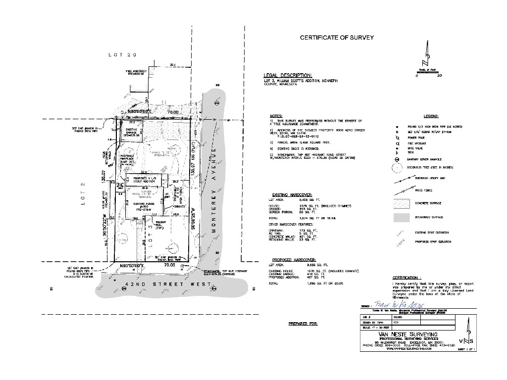
Building Permit Surveys
Building Permit Surveys are often required for new construction. Although requirements vary depending on the municipality, they usually include a boundary and topographic survey which shows the existing conditions and the proposed building to be constructed. Often, existing and proposed elevation information will be required so the the city building inspector can review the proposed grading. Some cities also require that the building be staked so that its location can be inspected once complete for compliance with zoning and setbacks. In addition to the Building Permit Survey, some cities will require an as built drawing to verify the construction and grading complies with what was approved. Van Neste Surveying keeps an extensive database of city requirements and we would be happy to help you insure you are in compliance.


